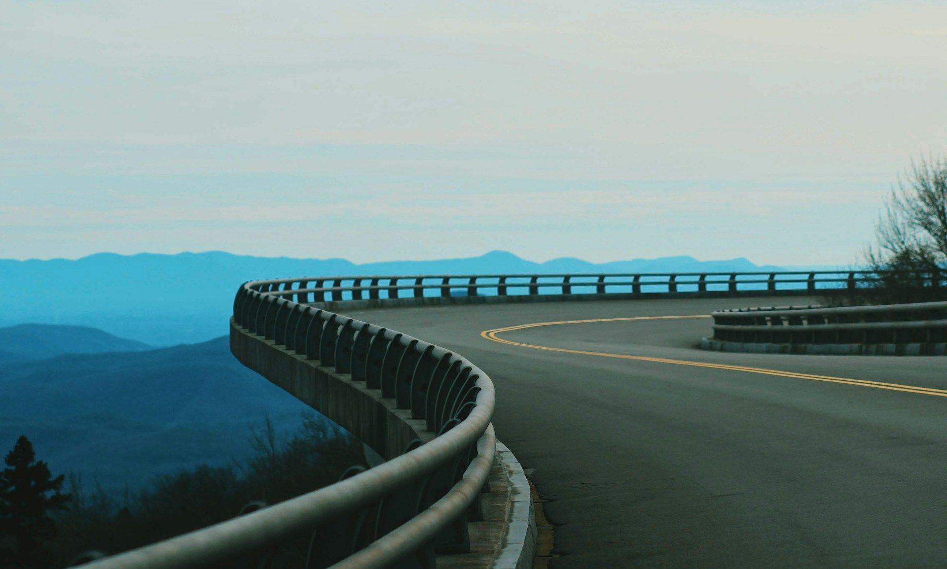
The Blue Ridge Parkway runs 469 miles along the crest of the southern Appalachians, connecting Shenandoah National Park in Virginia to Great Smoky Mountains National Park in North Carolina. FDR's administration built it during the Depression as a scenic motor road, and it remains one of the most visited units in the National Park System. No commercial vehicles, no billboards, no traffic lights. The road climbs above 6,000 feet in places, drops into river valleys, and passes through tunnels blasted through granite. Rhododendrons bloom in June. Leaves turn in October. The pace is enforced by design: 45 mph maximum, curves that demand attention, and overlooks every few miles that make stopping inevitable.
Parks Along the Way
Shenandoah National Park
Skyline Drive connects to the Parkway at Rockfish Gap. 105 miles of its own, with 75 overlooks.
Blue Ridge Parkway
The full length. Stop often. The Parkway rewards those who take their time.
Great Smoky Mountains National Park
Clingmans Dome, the highest point in Tennessee. Newfound Gap Road crosses the park.
Notable Stops
Humpback Rocks
First major stop heading south. A reconstructed 19th-century mountain farm sits at the visitor center. The hike to the rocks is a steep mile with 360-degree views at the top.
1-2 hours with hike
Peaks of Otter
Lodge, restaurant, and lake at the base of Sharp Top and Flat Top mountains. The lodge has been hosting travelers since 1939. Sharp Top summit requires a 1.5-mile hike or shuttle bus.
2-4 hours
Roanoke Star
The world's largest freestanding illuminated man-made star. Built in 1949, standing 88.5 feet tall on Mill Mountain. Visible for 60 miles at night. A quick detour from the Parkway into Roanoke.
30 minutes
Mabry Mill
The most photographed spot on the Parkway. A working gristmill from 1910 with blacksmith shop, sawmill, and a moonshine still. The restaurant serves buckwheat pancakes and country ham. Seasonal, May through October.
1-2 hours
Blue Ridge Music Center
Celebrates the roots of American music. Museum traces old-time and bluegrass traditions. Free outdoor concerts on summer Saturday afternoons. The region around Galax has produced more old-time musicians than almost anywhere.
1-2 hours
Northwest Trading Post
Handmade Appalachian crafts since 1950. Pottery, woven goods, jams, and mountain-made items. The kind of roadside stop that has almost vanished elsewhere.
30 minutes
Moses Cone Manor
A textile baron's estate turned craft center. The Southern Highland Craft Guild operates inside the manor house, selling traditional Appalachian crafts. 25 miles of carriage trails wind through the grounds.
1-2 hours
Linn Cove Viaduct
An engineering marvel completed in 1983, the last section of the Parkway built. The S-curved bridge hugs the side of Grandfather Mountain, suspended on concrete segments that were lowered into place by helicopter. A short trail underneath offers the best views of the structure.
30-45 minutes
Grandfather Mountain
Private park adjacent to the Parkway. The Mile High Swinging Bridge spans 228 feet at 5,280 feet elevation. Nature museum, wildlife habitats, and hiking trails. Requires separate admission.
2-3 hours
Linville Falls
The most photographed waterfall in North Carolina. Multiple overlooks reached by moderate trails show the falls from different angles as it drops into Linville Gorge, the deepest gorge east of the Grand Canyon.
1-2 hours
Museum of North Carolina Minerals
The mountains here contain one of the most diverse mineral deposits in the world. The museum explains the geology and mining history. Free admission. Nearby gem mines let you dig for your own stones.
45 minutes
Craggy Gardens
Above 5,000 feet, the slopes bloom purple with Catawba rhododendrons in mid-June. The visitor center and short trails lead to panoramic views. One of the highest points on the Parkway.
1-2 hours
Folk Art Center
The Southern Highland Craft Guild's flagship. Three galleries of traditional and contemporary Appalachian crafts. Daily craft demonstrations. The gift shop is one of the best sources for authentic mountain-made goods.
1-2 hours
Mount Pisgah
Named by a homesick Scotsman after the biblical peak where Moses saw the Promised Land. The inn, restaurant, and campground make it a good base. A 1.6-mile trail leads to the 5,721-foot summit.
2-4 hours
Looking Glass Rock Overlook
A massive granite dome that reflects sunlight like a mirror after rain. One of the most distinctive formations in the Southern Appalachians. Best viewed from this overlook on clear days.
15-30 minutes
Waterrock Knob
The highest overlook accessible by car on the Parkway. A half-mile trail climbs to the 6,292-foot summit with 360-degree views into four states. The visitor center explains the flora of the high-elevation spruce-fir forest.
1-2 hours
Pro Tips
- Speed limit is 45 mph maximum. Plan accordingly. The Parkway punishes impatience.
- Sections close in winter due to ice and snow. Check conditions at nps.gov/blri before traveling November through March.
- Gas, food, and lodging are not available on the Parkway itself. Exit to nearby towns. Asheville and Roanoke offer the most options.
- October weekends bring heavy traffic for fall color. Weekdays or early mornings are significantly less crowded.
- Mileposts count from north (0 at Rockfish Gap) to south (469 at Cherokee). Use them for navigation and planning stops.
- Fog is common at higher elevations. Carry layers even in summer. Temperatures can drop 20 degrees from the valleys.